
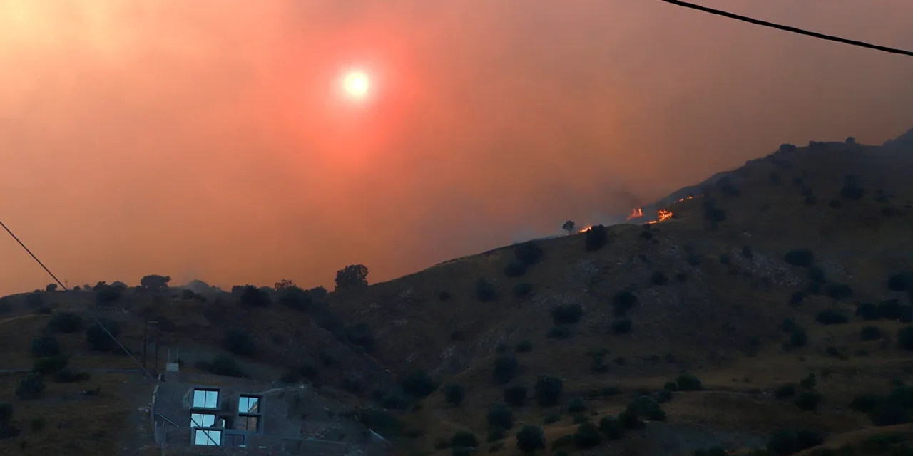
Wildfires are no longer confined to remote forests and hillsides, as the Old Trails Fire in Spokane, Washington, has made devastatingly clear.
The fire jumped the Spokane River from Riverside State Park, tearing into the Indian Trail neighborhood and forcing widespread evacuations across the city’s northwest corner.
Authorities believe the blaze was deliberately set, and an arsonist was arrested in connection with the fire’s origin near the state park.
The Old Trails Fire was one of three fires to strike the Spokane area, alongside the Autumn Lane Fire in the Suncrest area and the Fairview Fire in Mead.
Together, the three fires burned across more than 10,000 acres, destroying an estimated 700 to 1,100 structures in total.
The Indian Trail neighborhood, largely developed between the 1980s and 2010s, represents a broader pattern of suburban expansion into fire-prone landscapes across the American West.
Like many communities now grappling with wildfire risk, Indian Trail was not traditionally flagged as a high-danger zone, yet it burned rapidly under the conditions that day.
Gusty winds played a decisive role in pushing the fire out of its initial burn area and deep into residential streets, a pattern increasingly familiar to fire researchers and emergency managers.
The Spokane fires draw direct comparisons to the Eaton and Palisades fires that devastated communities in the Los Angeles area in January 2025, which also ignited just outside suburban zones before racing inward.
The 2021 Marshall Fire followed a similar trajectory, demonstrating that the combination of dry conditions, available fuel, and wind can overwhelm nearly any neighborhood regardless of its perceived risk level.
The fires have renewed urgent questions about how communities across the West assess and communicate wildfire danger to residents living in areas once assumed to be relatively protected.
Suburban development patterns that placed homes near open land and state parks have left millions of Americans in a zone where the boundary between city and wildland is dangerously thin.
Emergency planners and local governments now face growing pressure to reclassify risk maps, update building codes, and improve evacuation infrastructure in light of fires like those that struck Spokane.
The scale of destruction across the three Spokane-area fires serves as a stark reminder that no neighborhood is automatically safe simply because it sits within city limits or lacks a history of wildfire.
